Summary
No timed entry
Entrance
$30
7-day fee
2 live
Camera
Historic Crowd Data
Avg. monthly visitors, 2015–2024 · National Park Service
Light
Moderate
Busy
Very Busy
Peak season is May–September, when around 60% of annual visitors arrive. For lighter crowds, aim for December–February.
Plan Your Visit
Desert Heat Safety100°F+ summer▾
Park Entrance & AccessNo timed entry · $30▾
Main Access
No Timed Entry (2026)
US-191, 5 mi north of Moab, UT
Arches lifted its timed-entry reservation requirement for the 2026 season — visitors may enter any time during operating hours. Expect it could return in future years if visitation spikes again.
💡 Even without timed entry, weekend and holiday mornings get busy — arriving before 8am or after 4pm avoids the worst of it.
NPS directions ↗
Fiery Furnace
Permit / Ranger-Guided Only
Maze-like sandstone area, permit required
This labyrinth of narrow canyons has no marked trail — self-guided visitors need a permit and orientation, or can join a ranger-led hike. Not recommended without one or the other; it's easy to get disoriented.
💡 Ranger-led hikes fill up — reserve on Recreation.gov well in advance in peak season.
Fiery Furnace permit info ↗
Delicate Arch Trail
Very Popular
3 mi RT, exposed slickrock
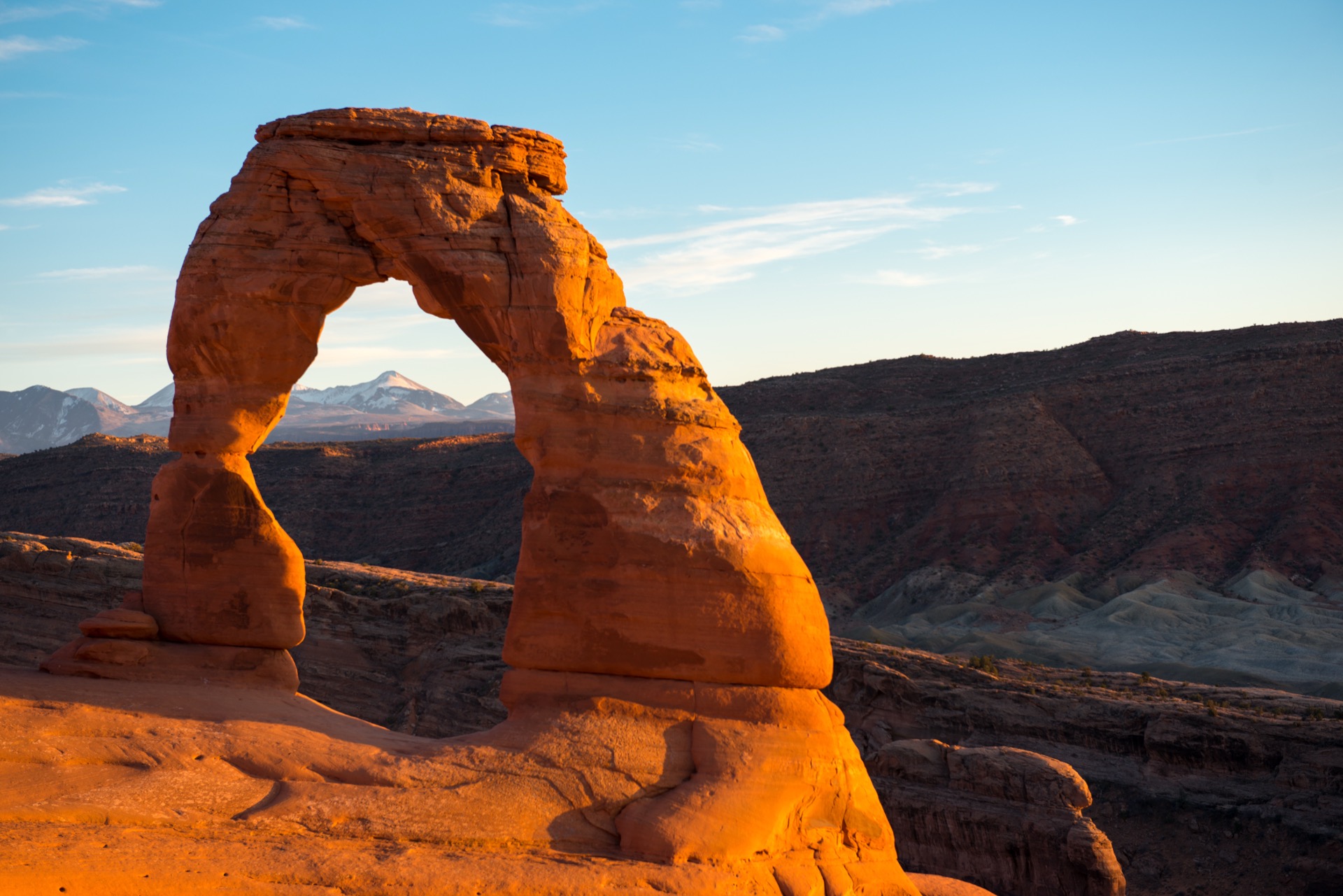
The park's most iconic hike has no shade and a steep slickrock section. Sunset draws the biggest crowds and the fullest parking lot of the day.
💡 Go at sunrise instead of sunset for a similar view with a fraction of the crowd.
Trail info ↗
Campgrounds2 areas▾
Devils Garden Campground Reservable (Mar–Oct) ▾
Sites51
SeasonReservable Mar 1–Oct 31, first-come Nov–Feb
NotesOnly developed campground in the park
Book on Recreation.gov ↗
Group Sites Reservable ▾
Juniper BasinUp to 55 people, Mar–Oct
Canyon WrenUp to 35 people, year-round
NotesNo RVs or trailers permitted
Book on Recreation.gov ↗
Landmarks & Trailheads5 stops▾
Signature Arches3 stops▾
Delicate ArchStrenuous
Strenuous · Utah's iconic freestanding arch
~3 mi RT
Landscape ArchEasy
Easy · one of the longest natural arches on Earth
~1.6 mi RT
Double ArchEasy
Easy · two arches sharing one base
~0.6 mi RT
Roadside & Short Walks2 stops▾
Balanced RockEasy
Easy · massive boulder on a narrow pedestal
~0.3 mi loop
Devils GardenModerate-strenuous
Moderate-strenuous · most arches in one area
Up to 7.9 mi RT
Things to Do8 categories▾
Hiking Trails4 trails▾
Park Avenue TrailMod.
Canyon walk beneath towering sandstone fins; one-way hikers can arrange a shuttle pickup at Courthouse Towers
1.8 mi RT · 320 ft
The Windows LoopEasy
Loop past North & South Window and Turret Arch, the park's densest cluster of arches near one trailhead
1 mi RT · 99 ft
Double O ArchDifficult
Devils Garden extension past Landscape Arch across narrow slickrock ledges with steep drop-offs
4.1 mi RT
Devils Garden Primitive LoopStrenuous
Full loop via Dark Angel with steep scrambling; the most difficult maintained trail in the park
7.9 mi RT
Rock Climbing4 rules▾
RegistrationFree
Free permit via the online reservation system or self-registration kiosk at the visitor center; no daily route limits
Group SizeMax 5
Climbing parties are capped park-wide
Prohibited ClimbsProhibited
Named arches with openings over 3 ft and Balanced Rock are off-limits; guided climbing services are banned park-wide
Raptor ClosuresJan–Aug
Many routes close seasonally to protect nesting birds of prey; check the current closure list before climbing
Canyoneering4 routes▾
Permit Options$0–$6
Self-register free at the visitor center kiosk, book online via Recreation.gov, or visit the Backcountry Permit Office in Moab
Group SizeMax 6–10
Fiery Furnace & Lost Spring Canyon routes are capped lower than the rest of the park
Established Routes4 routes
Dragonfly, Krill & Lomatium, Lost and Found/Undercover, and Bighorn are the park's marked canyoneering routes
Fiery Furnace Add-On$10/person
Canyoneering inside the Fiery Furnace also requires the separate Self-Guided Exploration permit
Backpacking4 sites▾
Permit$7/person
Issued only in person at the Backcountry Permit Office in Moab, up to 7 days ahead; no online booking
Designated Sites4 sites
Only 4 backcountry campsites exist park-wide: 3 at Courthouse Wash, 1 at Devils Garden
Group & Stay Limits7 people
Each permit covers up to 7 people, up to 3 nights per campsite, 7 nights total
Waste RulePack it out
No campfires or dispersed camping; all solid human waste must be packed out
Ranger-Led Programs3 options▾
Patio TalkFree · Daily
10-minute geology talks at the Visitor Center; no reservation needed
Evening ProgramNightly from May 31
30–45 minute talks at the Devils Garden Campground Amphitheater
Fiery Furnace Ranger HikeApr–early fall
Physically demanding, ranger-led route-finding hike through the Fiery Furnace, ages 5+; advance Recreation.gov tickets required, no walk-ups
Biking2 notes▾
Scenic Drive18 mi paved
Cycling is permitted only on the paved park road and pullouts; no off-road or trail biking inside the park
Nearby Off-Road OptionsOutside park
Mountain bike trails exist on public lands just outside the park boundary near Moab
Stargazing & Night SkyMilky Way views▾
Loading…
Arches' dry desert air and distance from major cities make for excellent stargazing, with the Milky Way often visible directly over the arches themselves — a favorite subject for night photographers. Best on new-moon nights, away from Moab's lights to the south. NPS plan-your-visit info ↗
Bird WatchingTop 5 species▾

Common Raven
Year-round resident

Peregrine Falcon
Monitored nesting cliffs

White-throated Swift
Circles above rock formations

Canyon Wren
Riparian corridors

Western Meadowlark
Grassland areas
Goods & ServicesMoab 5 mi away▾
Visitor Center1 location▾
Bookstore & ExhibitsYear-round
Books · Maps · Gifts
Park Contact Information