Summary
$0
Entrance fee
None
Live cameras
Historic Crowd Data
Avg. monthly visitors, 2015–2024 · National Park Service
Light
Moderate
Busy
Very Busy
Peak season is May, when around 10% of annual visitors arrive. For lighter crowds, aim for October–November.
Plan Your Visit
Access & Water SafetyBoating hazards▾
Access & EntryFee-free▾
Coral Reef & StiltsvilleFlorida Reef▾
Coral Reefcontext▾
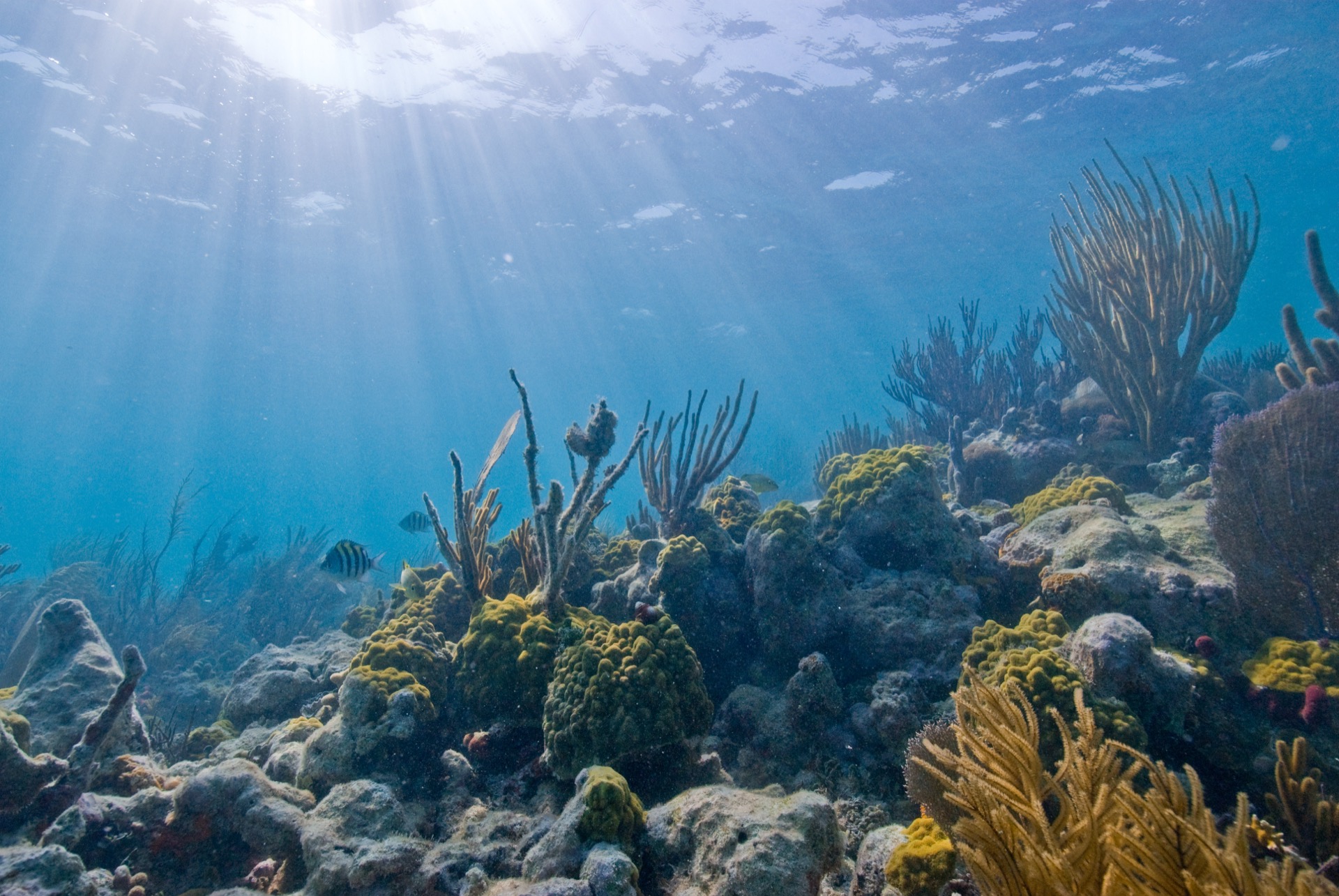
The Florida Reef
NPS: "part of the world's third-longest barrier reef ecosystem" — a 170-mile coral barrier reef tract; the park sits at its northern end
Reef fish
Home to over 500 species
Stiltsville7 structures▾
Remaining structures
Hurricane Andrew (1992) left only 7 buildings standing, none dating to the area's earlier heyday
Access
Interior access is permit-only via the Stiltsville Trust; NPS has a cooperative agreement with the Trust for upkeep and education. Visible from the water on boat tours.
Things to Do7 categories▾
Boating3 notes▾
Open WaterBoat required
Over 250 square miles of mostly shallow, tide-dependent water; NPS recommends NOAA chart 11451 for navigation
Personal WatercraftProhibited
Jet skis and other personal watercraft are prohibited throughout the park
Reef ProtectionMooring buoys
Slow-speed zones apply in shallow areas; anchoring on coral is forbidden and mooring buoys are provided at popular sites
Snorkeling & DivingMaritime Heritage Trail▾
Maritime Heritage Trail7 sites · Boat-only
Six historic shipwrecks plus the 1878 Fowey Rocks Lighthouse; all sites are boat-access only
Lugano25 ft deep
1913 steamship wreck resting on Long Reef; a popular scuba site
MandalaySnorkel-friendly
1966 wreck of a two-masted schooner, shallow enough for snorkeling
Fowey Rocks LighthouseNot open to public
1878 lighthouse marking the trail's northern end; snorkeling is permitted around the base, but the tower is closed to visitors
Fishing3 notes▾
LicenseFL license + permits
Valid Florida fishing license required for anglers 16+; extra permits apply for snook, spiny lobster, tarpon, and shore-based shark fishing
Species & LimitsFederal rules apply
Popular catches include snapper, grouper, tarpon, and bonefish; federal size and bag limits are often stricter than state waters
Closed AreasNo-fish zones
Fishing is prohibited near the Boca Chita and Elliott Key harbors, the visitor center boat basin, and Convoy Point entrance channels
Kayaking & Canoeing1 note▾
Mangrove ShorelineSelf-guided
NPS recommends paddling to explore the mangrove-fringed shorelines and shallow bay waters near Convoy Point
Guided Tours & Charters2 notes▾
Biscayne National Park Institute786-335-3644
Official concessioner running snorkel trips to Maritime Heritage Trail wrecks and reefs, Boca Chita lighthouse cruises, sailing, and Jones Lagoon eco-tours; reservations advised
Other Authorized Operators8 operators
Eight additional companies are permitted to run snorkeling, diving, boating, and fishing charters in the park
Hiking2 trails▾
Convoy Point Jetty WalkEasy
Flat, self-guided walk along the jetty at the Dante Fascell Visitor Center with 10 interpretive stops
0.8 mi RT
Elliott Key TrailsBoat-access only
Boat-access-only island with two hiking trails, including a route along its length
Bird WatchingTop 5 species▾

Roseate Spoonbill
Shallow mangrove flats

Magnificent Frigatebird
Soaring over the bay

White-crowned Pigeon
Mangrove & hardwood hammock

Reddish Egret
Active shallow-water feeder

Osprey
Nests along the shoreline
CampingBoat-in · FCFS▾
Boca Chita Key$25/day dock + $35/night camp▾
Dock Fee$25/day, Fri–Mon and federal holidays
AmenitiesGrassy camping area, picnic tables/grills, toilets only — no showers or drinking water
Harbor Depth~4 ft at low tide
Elliott Key$25/day dock + $35/night camp▾
AmenitiesRestrooms with sinks/cold showers, drinking water (bring backup), 33-slip marina
TrailsTwo hiking trails
Harbor Depth~2.5 ft at low tide
Park Contact Information