Summary
$0
Entrance fee
Live
Cuyahoga River gauge
Historic Crowd Data
Avg. monthly visitors, 2015–2024 · National Park Service
Light
Moderate
Busy
Very Busy
Peak season is May–August, when around 48% of annual visitors arrive. For lighter crowds, aim for December–March.
Plan Your Visit
Trail & Waterfall SafetySlips & falls▾
Park EntryFee-free, no gates▾
Cuyahoga River — Jaite GaugeLive USGS gauge▾
Cuyahoga Valley Scenic RailroadConcessioner▾
Ohio & Erie Canal Towpath Trail87 miles▾
Brandywine Falls & The LedgesSignature landmarks▾
Brandywine Falls65-ft waterfall▾
Boardwalk Overlook
The park's most photographed spot — accessible boardwalk views of the falls; parking fills quickly on weekends
The Ledgessandstone cliffs▾
Ledges Trail
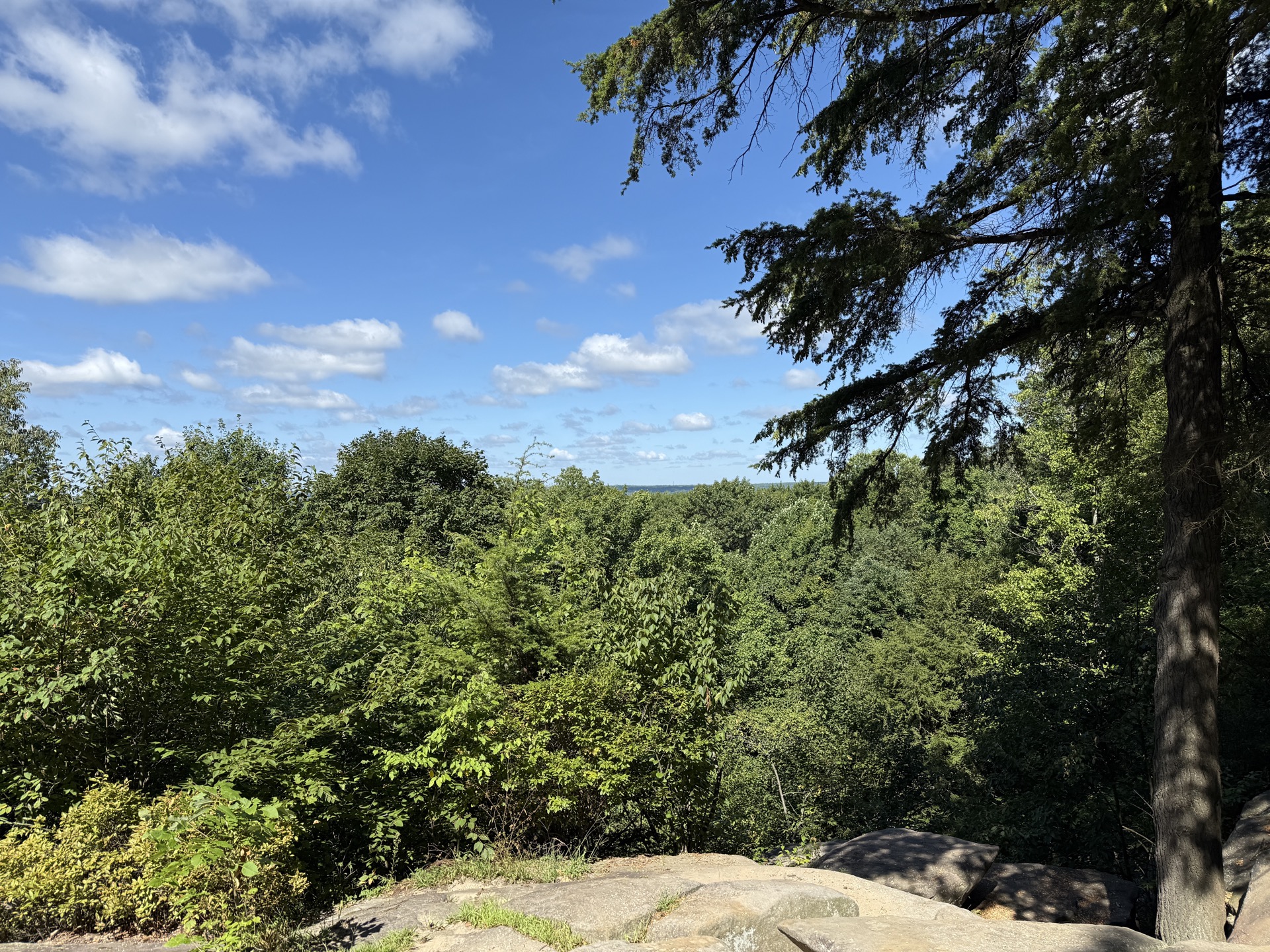
2.2-mile loop past massive sandstone outcrops and the Ledges Overlook, one of the best sunset views in the park
Things to Do7 categories▾
Hiking Trails4 options▾
Blue Hen Falls Trail3 mi RT · 580 ft · Steep
Rugged out-and-back on the Buckeye Trail from Boston Mill Visitor Center to a cascading waterfall, with steep climbs and staircases both ways
Buckeye Trail — Northern Section1.5–7 mi segments · up to 200 ft
Rocky, hilly segments of Ohio's cross-state trail as it threads through the park's north end
Buckeye Trail — Southern Section3–4.1 mi segments · up to 240 ft
Passes the historic Everett Covered Bridge on hilly, moderate-to-challenging terrain near the park's south end
Valley Trail — Southern Section2.75–9.25 mi segments · up to 400 ft
Rolling-to-hilly dirt trail linking the Ledges, Kendall Lake & Octagon Shelter areas
Biking4 options▾
Towpath TrailEasy
Flat, crushed-limestone canal towpath shared with walkers & horses; 20 of its 101 total miles run through the park
20 mi in-park
East Rim TrailsIntermediate
Purpose-built singletrack with berms and features for intermediate mountain bikers; Class 1 e-bikes permitted
Bike & Hike Trail33.5 mi
Paved Summit Metro Parks trail bordering the park's east side, connecting to Towpath access points
Bike RentalsSeasonal
Available from private outfitters at trailheads along the Towpath; not operated by the NPS
Horseback Riding3 options▾
Valley Trail (Equestrian)14.5 mi total
The park's longest horse trail, linking multiple trailheads across the southern half
Wetmore & Riding Run Trails4.6 mi & 5.6 mi
Two of six designated horse trails; trailer access recommended at Wetmore and Boston trailheads
Bring Your Own HorseNo rentals
No horse rentals or outfitters operate in the park — riders must trailer in their own animals
Paddling the Cuyahoga River3 options▾
River Access Points26 mi · 7 launches
Seven boat launches from Northampton Point to Lock 39 span the roughly 26 miles of river inside the park
Life Jacket RequirementRequired
USCG-approved life jackets required for all paddlers; children under 10 must wear them at all times
Known HazardsPortage req.
Bedrock ledge near Lock 29 and metal pylons near Lock 39 require portaging; NPS does not maintain the river for recreation — paddle at your own risk
Fishing3 rules▾
Ohio Fishing LicenseOH license
Required for anglers 16 and older; permitted throughout park waters except near docks, bridges & swim beaches
Gear RulesHook & line
Hook-and-line only, closely attended; live minnows and amphibians prohibited except in designated waters
Consumption AdvisoryAdvisory
Ohio EPA advises limiting consumption of larger predatory fish due to mercury; catch-and-release required for unwanted or undersized fish
Winter Sports3 options▾
Cross-Country Ski & Snowshoe Trails1.4–19.7 mi routes
Nine marked routes from beginner-friendly Ledges Field to the advanced Boston Run Trail; open when snow cover allows
Sledding at Kendall HillsQuick Rd, Peninsula
Open hillside off Quick Road in Peninsula with dedicated parking; pets prohibited during sledding
Boston Mills & Brandywine Ski ResortPrivate resort
Privately operated downhill skiing, snowboarding & snow tubing on land within the park boundary; not an NPS facility
Bird WatchingTop 5 species▾

Bald Eagle
Nesting comeback along the Cuyahoga

Great Blue Heron
Wades the river shallows

Belted Kingfisher
Dives for fish along the Towpath

Cerulean Warbler
Sky-blue songbird of the canopy

Pileated Woodpecker
Drums through the valley forest
Park Contact Information