Summary
3/3
Entrances open
$30
7-day fee
--
Campgrounds
Historic Crowd Data
Avg. monthly visitors, 2015–2024 · National Park Service
Light
Moderate
Busy
Very Busy
Peak season is February–April, when mild temperatures draw the most visitors. Summer months see fewer crowds — but come with extreme heat risk, not easier conditions.
Plan Your Visit
Extreme Heat Safety134°F record▾
Park Entrances & Fees3 open · $30▾
West Entrance
Usually Open
SR-190, via Olancha / Lone Pine (US-395)
Crosses Towne Pass into the park, past Stovepipe Wells and on to Furnace Creek. Most common approach from the Owens Valley / Eastern Sierra side.
💡 Entrance is a cashless automated pay kiosk — no staffed gate, no wait-time data. Pay online at Recreation.gov before you go if you can.
NPS directions ↗
East Entrance
Usually Open
SR-190, via Death Valley Junction / Pahrump, NV
Closest approach to Zabriskie Point and Furnace Creek from Las Vegas — the most common route for Vegas-based day trips.
💡 About 2 hours from Las Vegas. Fill up on gas before entering — in-park fuel is expensive.
NPS directions ↗
South Entrance
Usually Open
SR-127 / SR-178, via Baker & Shoshone
Enters near Badwater Road, the lowest and hottest part of the park. Good route from I-15 / the Baker "world's tallest thermometer" side.
💡 Long, remote drive with little cell service — top off water and gas in Baker or Shoshone.
NPS directions ↗
Campground Availability4 areas▾
Furnace Creek Reservation Only ▾
Sites136
Elevation-196 ft
SeasonYear-round
NotesClosest to Visitor Center & only campground with year-round hookups nearby
Book on Recreation.gov ↗
Mesquite Spring First-Come, First-Served ▾
Sites30
Elevation1,800 ft
SeasonYear-round
NotesNorthern park, near Ubehebe Crater & Scotty's Castle Rd — quiet & cooler
Campground details ↗
Stovepipe Wells First-Come, First-Served ▾
Sites190
Elevation-107 ft
SeasonOct–Apr (closed in summer heat)
NotesNear Mesquite Flat Sand Dunes & the village general store
Campground details ↗
Panamint Range Campgrounds Free · First-Come ▾
Wildrose4,100 ft
Thorndike7,400 ft · high-clearance rec.
Mahogany Flat8,200 ft · high-clearance rec.
NotesPrimitive, no water · 20–30°F cooler than the valley floor
Campground details ↗
Things to Do7 categories▾
Hiking Trails6 trails▾
Natural BridgeEasy
Easy out-and-back to a natural rock span over a wash
1 mi RT · 86 ft
Golden CanyonMod.–Strenuous
Badlands canyon walk to Red Cathedral; several route lengths depending on turnaround/loop option
3–8 mi RT · 535–834 ft
Desolation CanyonMod.–Difficult
Narrow, colorful badlands canyon south of Golden Canyon
3.6 mi RT · 600 ft
Mosaic CanyonMod.–Difficult
Polished marble narrows near Stovepipe Wells; scrambling required higher up
4 mi RT · 1,200 ft
Wildrose PeakDifficult
Forested climb above the charcoal kilns in the Panamint Range
8.4 mi RT · 2,200 ft
Telescope PeakDifficult
The park's highest summit, 11,049 ft, with views down to Badwater Basin
14 mi RT · 3,000 ft
Sand Dune Exploring2 dune fields▾
Mesquite Flat Sand DunesEasy–Mod.
No official trail — free-roam walking on the dunes; best at sunrise before wind erases footprints
2 mi RT · 185 ft
Panamint DunesMod. Difficult
Remote, rarely-visited dune field reached via a rough dirt road plus cross-country walk
8 mi RT · 1,028 ft
Scenic Backcountry Drives2 routes▾
Artists Drive9 mi · One-way · Paved
Paved, one-way loop through colorful volcanic hills; passes Artist's Palette
Titus Canyon Road27 mi · 2–3 hrs · High-clearance rec.
One-way graded dirt road east to west through Leadfield ghost town & narrow canyon walls; last 3 mi two-way
Biking3 route types▾
Paved Park Roads1 mi path
Bikes allowed on all roads open to vehicles, plus the Visitor Center – Harmony Borax Works bike path
Backcountry Dirt Roads3–40 mi routes
785+ miles of park roads; popular graded routes include Twenty Mule Team Canyon & Racetrack Road
Off-Road RestrictionsRoads only
Prohibited off roadways, on trails, in wilderness, or riding abreast
Horseback & Stock Use2 rules▾
Permitted RoutesFree permit encouraged
Backcountry dirt roads & select trails incl. Wildrose, Ubehebe Peak, Indian Pass, Fall Canyon, Cottonwood/Marble Canyon
Group & Access Limits12 people · 8 stock max
Max 12 people / 8 stock in wilderness; prohibited on pavement, dune systems & Darwin Falls, Badwater & Telescope Peak trails
Stargazing & Night SkyGold tier▾
Loading…
Death Valley is the largest Gold-Tier International Dark Sky Park in the U.S. — the highest designation for night sky quality. Best viewing spots are Harmony Borax Works, Mesquite Flat Sand Dunes & Ubehebe Crater, all far from the faint glow of Furnace Creek. Best on new-moon nights — bring a red flashlight to preserve night vision and layer up, as desert nights get cold fast. NPS night sky info ↗
Bird WatchingTop 5 species▾

Greater Roadrunner
Sprints across the valley floor

Golden Eagle
Hunts over the Panamint Range

Common Raven
Common near Furnace Creek

Le Conte's Thrasher
Elusive desert-floor specialist

Phainopepla
Glossy black, crested desert bird
Landmarks & Trailheads12 stops▾
Badwater Road4 stops▾
Badwater Basin-282 ft
Easy boardwalk · lowest point in N. America
Artist's Palette~30 min
Scenic one-way drive · colorful mineral hills
Devil's Golf Course~15 min
Jagged salt crystal formations
Natural Bridge~1 hr
Moderate · 1.4 mi round trip canyon hike
Central / Furnace Creek Area5 stops▾
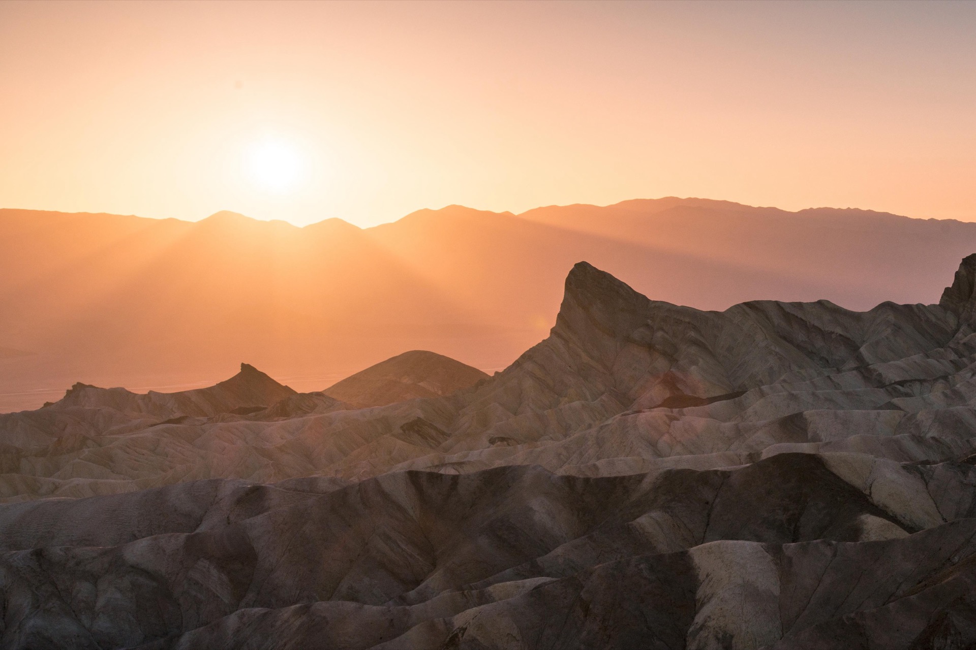
Zabriskie Point~15 min
Easy overlook · classic badlands sunrise view
Golden Canyon~2 hrs
Moderate · 3 mi round trip to Red Cathedral
Dante's View~20 min
Easy overlook · 5,475 ft, views to Telescope Peak
Harmony Borax Works~20 min
Easy · historic 20-mule-team borax site
Mesquite Flat Sand Dunes~1 hr
Easy · rolling dunes, best at sunrise/sunset
Northern Park — High-Clearance / 4WD3 stops▾
Racetrack Playa4WD required
Sailing stones · rough 27-mi gravel road
Ubehebe Crater~30 min
Easy rim walk · 600 ft volcanic crater
Titus CanyonHigh-clearance rec.
Scenic one-way drive through narrow canyon
Concession Information10 locations▾
The Oasis at Death Valley — Furnace Creek7 locations▾
The Ranch General StoreDaily
Groceries · Produce · Beer & Wine · Souvenirs
The Inn Dining RoomSeasonal
Fine Dining
Inn Pool CaféSeasonal
Sandwiches · Salads · Poolside
The Last Kind Words SaloonDaily
Western-Themed Bar & Dining
1849 RestaurantDaily
Breakfast · Lunch · Dinner · Town Square
Ice Cream ParlorDaily
Soda Fountain · Date Shakes
Oasis ShoppeDaily
Jewelry · Western Wear · Native American Art
Stovepipe Wells Village3 locations▾
Stovepipe Wells General StoreDaily
Sundries · Food · Travel Supplies · Adjacent Gas Station
Toll Road RestaurantDaily
Seasonal Fare · Breakfast, Lunch & Dinner
Badwater SaloonDaily
Full Bar · Appetizers · Lunch & Dinner
Park Contact Information