June closure
Climbing
1/1
Entrance open
45 sites
Campground
$25
7-day fee
867 ft
Tower height
2 live
Cameras
A Sacred Site — Please Visit RespectfullyJune closure▾
Park Entrance & Fees1 open · $25▾
Only Entrance
Usually Open
WY-110, off US-14 near Devils Tower Junction
Devils Tower has a single paved entrance road crossing the Belle Fourche River. Most visitors arrive via I-90 and US-14 from Sundance or Moorcroft, WY.
💡 Entrance line can exceed 30 minutes on summer afternoons (late May–early Sept) — arrive early or late in the day. Cashless entrance station — cards only.
NPS directions ↗
Campground45 sites · FCFS▾
Belle Fourche River Campground First-Come, First-Served ▾
Sites45 (43 pull-through, 4 ADA, 3 tent-only group)
ReservationsNone — not bookable on Recreation.gov, arrive in person
LocationAlong the Belle Fourche River, near the Tower base
NotesOnly in-monument campground — fills by late afternoon June–Sept
Campground details ↗
Landmarks & Trailheads6 stops▾
The Tower & Base Trails3 stops▾
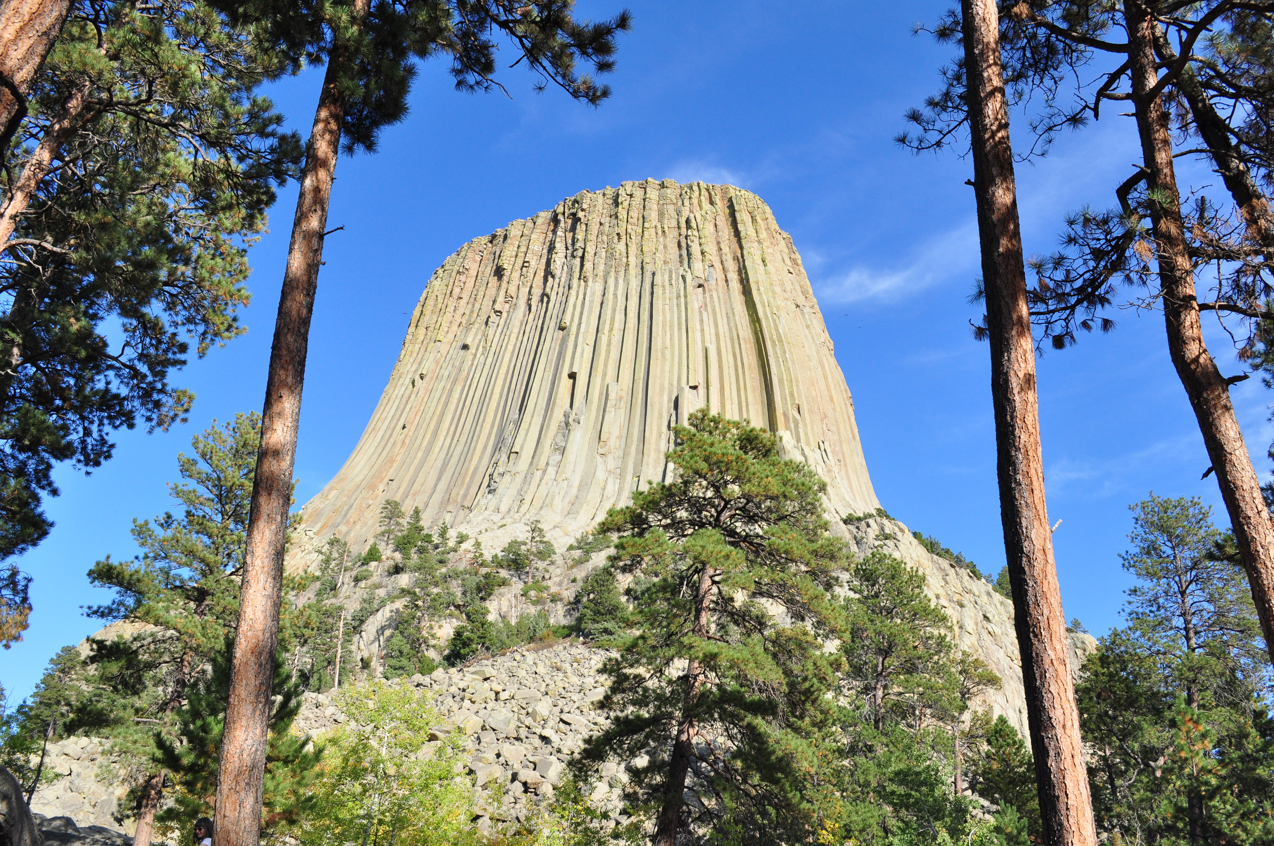
Devils Tower867-ft igneous intrusion · sacred site to Northern Plains tribes5,112 ft summit
Tower TrailEasy paved loop encircling the base1.3 mi · ~1 hr
Circle of Sacred Smoke SculptureBronze artwork & picnic area near visitor center~15 min
Longer Trails2 stops▾
Joyner Ridge TrailModerate loop · sweeping Tower views, little light pollution at night1.5 mi · ~1 hr
Red Beds TrailModerate loop through red-rock formations & prairie2.8 mi · ~2 hrs
Wildlife1 stop▾
Prairie Dog TownBlack-tailed prairie dog colony near the entrance roadActive dawn–dusk
Stargazing & Night SkyNo IDA cert.▾
Loading…
Devils Tower has no formal International Dark Sky Association certification, but its remote location in rural northeastern Wyoming — far from major cities — means night skies are typically excellent. Best viewing spots are the Joyner Ridge Trail parking area and the Circle of Sacred Smoke Sculpture & picnic area, both recommended by NPS for minimal light pollution. Check Clear Dark Sky before you go, and bring a red flashlight to preserve night vision. NPS night sky info ↗
Park Contact Information