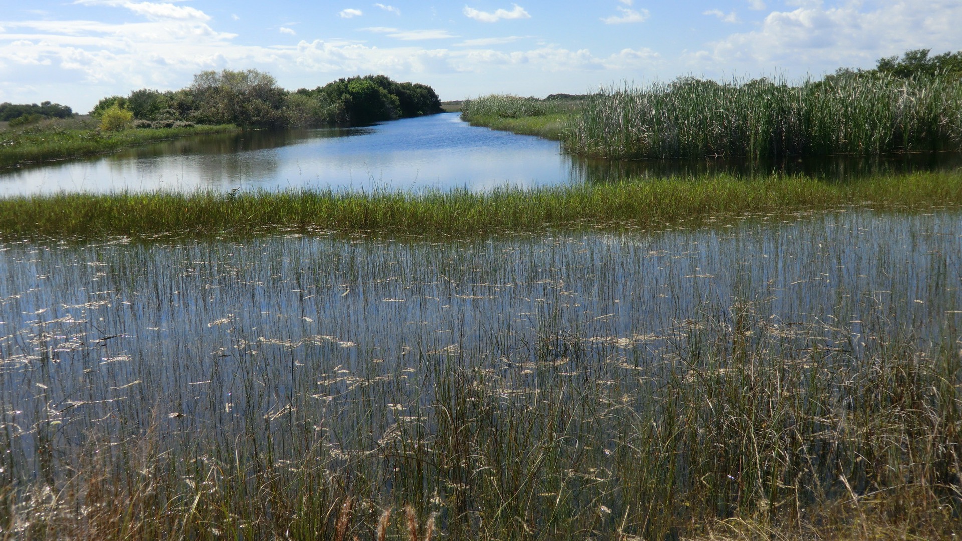
Summary
$35
Vehicle · 7 days
Live
EDEN water level
Historic Crowd Data
Avg. monthly visitors, 2015–2024 · National Park Service
Light
Moderate
Busy
Very Busy
Peak season is January–March, when around 37% of annual visitors arrive. For lighter crowds, aim for September–October.
Plan Your Visit
Wildlife & Hazard SafetyAlligators, heat, mosquitoes▾
Park Entrance & Fees3 entrances▾
South EntranceMain Entrance
Ernest F. Coe Visitor Center
Near Homestead, FL. Leads to Royal Palm (Anhinga Trail), Flamingo Visitor Center, and the main park road. Most-visited entrance.
Northeast EntranceShark Valley
Shark Valley Visitor Center
On US-41/Tamiami Trail. Separate entrance station, own fee — 15-mile paved loop road for biking, tram tours, and the observation tower.
Camping3 frontcountry areas▾
Long Pine KeyReservation▾
LocationNear main park road, pine rockland setting
BookingRecreation.gov, seasonal (Nov–Apr typical)
Flamingo CampgroundReservation▾
LocationEnd of main road, on Florida Bay
AmenitiesTent & RV sites, some with electric; marina, eco-tents
Backcountry / Wilderness WaterwayPermit required▾
AccessChickees, ground sites, beach sites — canoe/kayak access
BookingWilderness permit via Recreation.gov
Current Conditions · Water Level (EDEN)Live USGS gauge▾
Things to Do7 categories▾
Loop Road Access3 ways▾
Tram Tour
Guided, 2-hour narrated tours — concessioner-operated, reservations recommended
Bicycle
Rentals available at the visitor center; most popular way to do the loop
On Foot
Full 15-mile loop is a long walk but permitted
Observation Towerlandmark▾
Halfway Point
Spiral concrete tower with sweeping views over the sawgrass prairie — the loop's signature landmark
Hiking Trails5 trails▾
Anhinga TrailEasy
Paved/boardwalk loop through sawgrass marsh and sloughs — alligators, anhingas & wading birds right off the boardwalk; near Royal Palm
0.8 mi RT · Wheelchair accessible
Gumbo Limbo TrailEasy
Paved path through a shaded tropical hardwood hammock, steps from the Anhinga trailhead
0.4 mi RT · Wheelchair accessible
Pa-hay-okee OverlookEasy
Boardwalk loop to a raised platform with sweeping views over the sawgrass "river of grass"
0.16 mi RT · Wheelchair accessible
Mahogany Hammock TrailEasy
Boardwalk loop into a tree-island hardwood hammock — a jungle-like pocket surrounded by open prairie
0.5 mi RT · Wheelchair accessible
West Lake TrailEasy
Boardwalk loop through mangrove & buttonwood forest to the edge of West Lake, 7 mi north of Flamingo
0.5 mi RT · Wheelchair accessible
Paddling — Canoe & Kayak Trails4 trails▾
Nine Mile Pond5-mi loop (3.5-mi shortcut)
Marked loop through sawgrass ponds & dwarf cypress, route follows numbered poles; motors prohibited
Noble Hammock1.9-mi loop
Tight, twisting loop through a maze of small hammocks — good maneuvering skills required; motors prohibited
Hell's BayVariable distance
Mangrove tunnels & open bays toward Lard Can; motors prohibited from the trailhead to Lard Can; overnight camping requires a wilderness permit
Wilderness Waterway99 mi
Marked backcountry route linking Flamingo to Everglades City through Florida Bay & the Ten Thousand Islands; overnight camping requires a wilderness permit
Biking4 trails▾
Long Pine Key Trail14 mi RT
Dirt path through pine rockland ending at Pine Glades Lake; trailhead off the road to Long Pine Key Campground
L-67 Extension Trail6.4 mi RT
Gravel-and-grass road paralleling a canal, about 5 miles east of Shark Valley
Rowdy Bend Trail5.2 mi RT
Former overgrown roadbed through woodland near Flamingo — good birdwatching
Snake Bight Trail3.2 mi RT
Multiple ecosystems en route to a birding boardwalk near Flamingo; bikes not permitted on the boardwalk itself
Boat & Airboat Tours3 options▾
Airboat ToursConcessioner
Coopertown, Everglades Safari Park & Gator Park are the only concessioners authorized to launch into the park, from the south side of Tamiami Trail near Shark Valley — the NPS does not operate airboats itself
Backcountry Boat Tour90 min
Narrated cruise up the Buttonwood Canal through Coot Bay & Tarpon Creek into Whitewater Bay — departs Flamingo Marina
Florida Bay Boat Tour90 min
Narrated cruise from Flamingo Marina out into Florida Bay
Bird WatchingTop 5 species▾

Roseate Spoonbill
Bright pink wader in the marshes

Snail Kite
Endangered apple snail specialist

Wood Stork
Only US stork species

Anhinga
"Snake bird," namesake of the trail

Limpkin
Distinctive wailing call at dusk
Live Cameras · Anhinga TrailExternal link▾
Park Contact Information