Summary
$25
7-day fee
Historic Crowd Data
Avg. monthly visitors, 2015–2024 · National Park Service
Light
Moderate
Busy
Very Busy
Peak season is June–August, when around 54% of annual visitors arrive. For lighter crowds, aim for November–April.
Plan Your Visit
Hot Sand & Lightning Safety150°F surface▾
Park Entrance & Fees1 entrance · $25▾
Only Entrance
Usually Open
CO Highway 150, via Mosca, CO
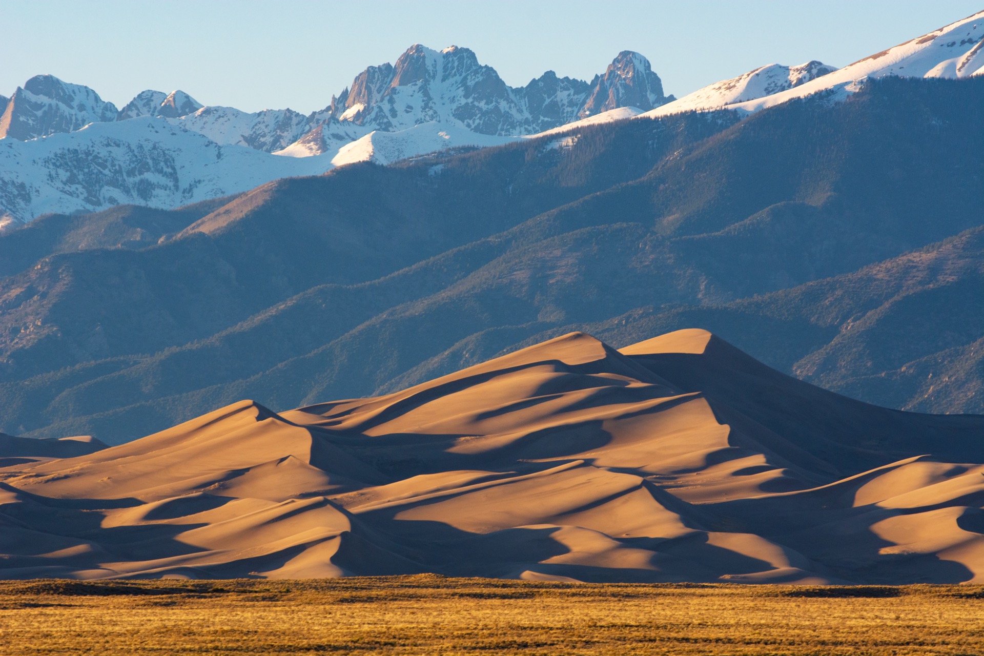
A single entrance road leads directly to the Visitor Center and main dune field parking, in the San Luis Valley between Alamosa and the Sangre de Cristo Mountains.
💡 No advance reservations, timed entries, or visitor caps — walk up or drive in any time.
NPS directions ↗
Note
Not Accepted
Colorado "Keep Colorado Wild" Pass
This state park pass does not cover Great Sand Dunes — it's a federal NPS unit and requires a separate federal entrance pass.
NPS fee details ↗
The Dune Field742 ft tallest▾
Hidden Dune Tallest in the Field ▾
Height742 ft base-to-summit
NotesCurrently the tallest dune, narrowly ahead of Star Dune
Star Dune Longest Hike ▾
Height741 ft base-to-summit
Distance~6 mi round trip, ~6 hrs typical
High Dune Most Visited ▾
Height692 ft base-to-summit
NotesNot the tallest, but looks that way from the main parking lot — ~2 hrs round trip typical
Medano Creek Seasonal ▾
Peak FlowLate May–June
NotesA rare surge-flow creek at the dune field's edge; typically dry by mid-June, no live gauge available
Things to Do7 categories▾
Sandboarding & Sand Sledding3 options▾
Great Dunes Oasis Store~4 mi · Spring–early fall
Closest sandboard & sled rental, just outside the park entrance; regular sleds and cardboard don't slide on dry sand, so specialized gear is required
Farther Outfitters32–36 mi · Year-round
Sand Dunes Recreation (Hooper) and Kristi Mountain Sports (Alamosa) rent gear year-round, though boards won't slide on wet or frozen sand
Where to Ride~1.25 mi to first ridge
Allowed anywhere on the dunefield away from vegetated areas; the first ridge is the most popular spot, with gentler slopes near the base for kids
Hiking the Dunefield3 dunes▾
High Dune2.5 mi RT · 688 ft gain · ~2 hrs
No maintained trails anywhere in the dunefield — this is open-sand hiking; High Dune is the most common destination, with views over the whole field
Star Dune6 mi RT · ~6 hrs
Second-tallest dune in North America; a longer, more remote push across soft sand
Hidden Dune7 mi RT · ~6 hrs
Tallest dune in North America, with a deceptive false summit; the most remote of the three and least crowded
Backcountry Trails3 trails▾
Sand Ramp Trail11 mi one-way
Sandy foothill route along the base of the dunes, mainly used to reach backcountry campsites rather than as a day hike
Medano Lake TrailFrom 10,000 ft · +2,000 ft gain
Climbs through meadows and forest to an alpine lake; strong hikers can continue on to Mount Herard
Music Pass & Sand Creek Lakes8 mi RT · Snow into Jun
High alpine lakes in the Sangre de Cristo Wilderness; trailhead reached via a 2.5-hr 4WD drive, often snow-blocked into early summer
Medano Creek Wading & Splashing2 windows▾
Peak Surge FlowLate May–early Jun · ~40 cfs avg peak
Snowmelt-driven "surge flow" sends waves rippling across the creek bed; in wetter years they're big enough to float on
Late-Season WadingDry by ~Jul (typical)
Flow drops off fast after peak — typically just 1–2 in. deep by late June — and the creek usually dries at the main crossing by July absent rain
Medano Pass Primitive Road (4WD)3 things to know▾
The Route22 mi · 2.5–3 hrs
Rough 4WD-only track over Medano Pass to Wet Mountain Valley & CO-69; true 4WD with a 4-Low setting is required past the "Point of No Return" at mile 1.1
Conditions9 creek crossings
Nine Medano Creek crossings plus deep sand between Castle Creek and First Creek Crossing; rangers recommend airing tires down to 15–20 psi for the soft sections
SeasonMid-May–late Nov
Opens when conditions allow, typically mid-to-late May, and stays open through the end of the fourth rifle hunting season in late November
Stargazing & Night SkyCertified 2019▾
Loading…
Great Sand Dunes was designated an International Dark Sky Park in 2019. High San Luis Valley elevation and remoteness from cities make for excellent stargazing over the open dune field. Layer up — desert nights get cold fast even after 100°F+ days. NPS night sky info ↗
Bird WatchingTop 5 species▾

Golden Eagle
Soars over the dunefield

Sandhill Crane
Migrates through the San Luis Valley

American Kestrel
Smallest North American falcon

Horned Lark
Forages the open sand flats

Say's Phoebe
Desert flycatcher near the creek
Campground Availability88 sites▾
Piñon Flats Campground Reservation Only ▾
Individual Sites88
Group SitesA/B (20–40 people, $80/night) · C (15–30 people, $65/night)
Location1 mile north of the Visitor Center
SeasonApril–October
Book on Recreation.gov ↗
Piñon Flats is the park's only campground. It books up fast during Medano Creek's late-May/June peak flow — reserve well in advance for that window.
Landmarks & Trails3 stops▾
In the Park2 stops▾
Medano Pass Primitive RoadLate May–Nov
22 mi, high-clearance 4WD only · connects to Wet Mountain Valley · soft sand & creek crossings
Mosca Pass Trail~3.5 hrs
7 mi round trip, ~1,400 ft gain · trailhead near the Visitor Center
Nearby — Not Part of the Park1 stop▾
Zapata Falls~1 hr
BLM land, ~5 mi south of the park boundary off CO-150 — not an NPS site
Park Contact Information