Summary
Required
Timed entry May–Oct
$35
7-day fee
7 live
Cameras
Historic Crowd Data
Avg. monthly visitors, 2015–2024 · National Park Service
Light
Moderate
Busy
Very Busy
Peak season is July–August, when around 37% of annual visitors arrive. For lighter crowds, aim for November–May.
Plan Your Visit
Lightning & Altitude SafetyAbove treeline risk▾
Timed Entry & Park Entrances3 entrances · $35▾
East Entrance
Usually Open
Beaver Meadows, via Estes Park (US-36)
The main visitor center and most-used entrance — gateway to the Bear Lake Road corridor and Moraine Park.
💡 Requires a Timed Entry+ Bear Lake Road permit if heading to Bear Lake Road during restricted hours.
NPS directions ↗
East Entrance
Usually Open
Fall River, via Estes Park (US-34)
A few miles north of Beaver Meadows; leads to Trail Ridge Road and the Alpine Visitor Center.
💡 Old Fall River Road (one-way, unpaved, uphill only) branches off nearby, typically open July–first snow.
NPS directions ↗
West Entrance
Usually Open
Grand Lake / Kawuneeche, via US-34
The quieter west side, reached from Granby/Grand Lake — the far end of Trail Ridge Road.
💡 Trail Ridge Road closes seasonally (typically mid-October to late May) — this becomes a dead-end approach in winter.
NPS directions ↗
Campground Availability5 areas▾
Moraine Park Reservation Only ▾
Sites~244
SideEast (Estes Park)
SeasonYear-round (only one open in winter)
Book on Recreation.gov ↗
Glacier Basin Reservation Only ▾
Sites150 (73 tent-only)
SideEast, off Bear Lake Rd
SeasonSeasonal, summer
Campground details ↗
Aspenglen Reservation Only ▾
Sites52
SideEast, near Fall River entrance
SeasonSeasonal, summer
Campground details ↗
Timber Creek Reservation Only ▾
Sites98 (30 tent-only)
SideWest (Kawuneeche Valley)
SeasonSeasonal — reported closing midday Aug 10, 2026 for sewer rehab (verify closer to your trip)
Campground details ↗
Longs Peak First-Come, First-Served ▾
Sites26 (tent only)
SideEast, at the Longs Peak trailhead
SeasonSeasonal, roughly early July–early Sept
Campground details ↗
Landmarks & Trailheads10 stops▾
Trail Ridge Road3 stops▾
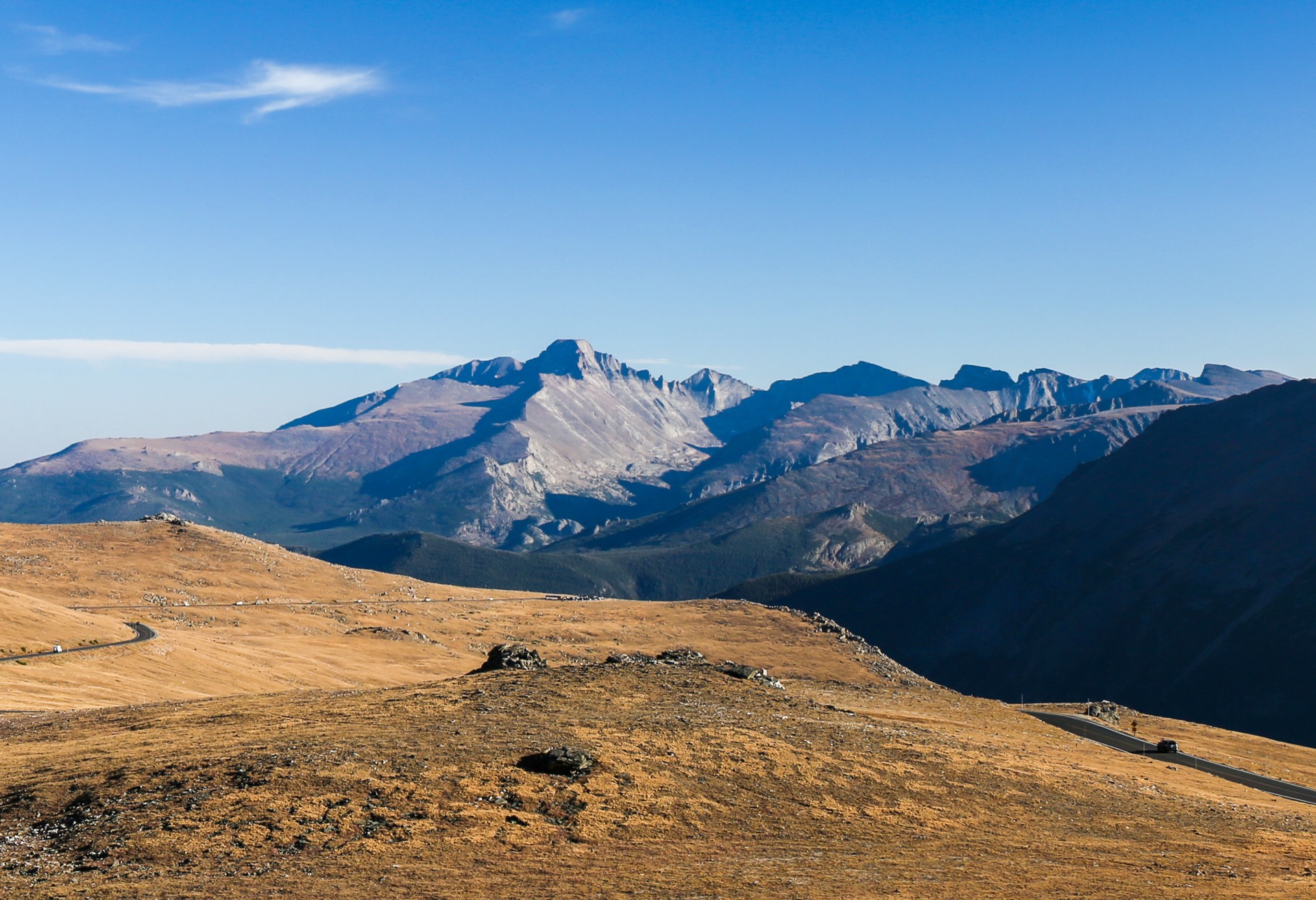
Trail Ridge Road12,183 ft
Highest continuous paved road in the US · 48 mi, 11 mi above 11,500 ft · closed mid-Oct–late May
Alpine Visitor Center~11,796 ft
Highest visitor center in the NPS system, at the road's high point
Old Fall River Road~1.5 hrs
One-way, unpaved, uphill only · seasonal, typically July–first snow
Bear Lake Corridor5 stops▾
Bear Lake~30 min
Easy 0.5 mi loop · sub-alpine lake beneath Hallett Peak
Dream Lake~1.5 hrs
Moderate 2.1 mi round trip from Bear Lake
Emerald Lake~2 hrs
Moderate 3.1 mi round trip, past Dream Lake
Alberta Falls~1 hr
Easy 1.6 mi round trip waterfall hike
Sprague Lake~20 min
Easy, fully accessible 0.5 mi loop
Longs Peak2 stops▾
Longs Peak Summit14,259 ft
14,259 ft · popular but dangerous 14er, no permit required
The Keyhole Route10–15 hrs RT
Class 3 technical scramble, not a maintained trail — experienced climbers only
Things to Do7 categories▾
Hiking Trails6 trails▾
Sky Pond9.8 mi RT · 1,710 ft
High alpine tarn beneath jagged spires, reached via Glacier Gorge past The Loch and Timberline Falls
The Loch6 mi RT · 990 ft
Subalpine lake and popular turnaround point along the Glacier Gorge trail system
Chasm Lake8.4 mi RT · 2,360 ft
Cirque lake at the base of Longs Peak's East Face, from the Longs Peak Trailhead
Mills Lake5.6 mi RT · 750 ft
Glacier Gorge destination lake with views toward Longs Peak
Gem Lake3.2 mi RT · 1,000 ft
Short, steep climb past granite outcrops from the Lumpy Ridge Trailhead
Twin Sisters Peak7.4 mi RT · 2,338 ft
Switchback climb to a summit with sweeping views of Longs Peak
Wildlife Viewing — Elk Rut4 facts▾
Fall Rut SeasonSept–Oct
Elk descend from the high country to montane meadows for the autumn breeding season; the park manages winter herds of 600–800 in low-elevation valleys
Best Viewing MeadowsDawn & dusk
Horseshoe Park, Moraine Park, Upper Beaver Meadows, Harbison Meadow & Holzwarth Meadow
Viewing Distance75 ft min.
NPS recommends staying at least two bus-lengths away — if you can't hide the animal behind your thumb at arm's length, back away
Meadow Closures5 PM–10 AM
Rut-season meadows close to off-trail foot & horse travel from 5 PM–10 AM daily, Sept 1–Oct 31
Fishing4 facts▾
LicenseCO license req.
Valid Colorado fishing license required for anglers 16 & older; kids 12 & under may use bait where fishing is open
Species4 trout species
Brown, brook, rainbow & cutthroat trout (Colorado River & Yellowstone subspecies); most high-alpine lakes lack reproducing populations
Catch-and-Release WatersC&R only
Adams Lake, Big Thompson River, Dream Lake, Fern Lake & Ouzel Lake
Closed WatersClosed
Bear Lake & Lake Nanita closed to fishing to protect spawning habitat
Horseback Riding3 facts▾
Private Stock~260 mi
Horses, mules, ponies, llamas & burros permitted on roughly 260 of the park's 350+ trail miles
Guided RidesSeasonal
Glacier Creek Stables is the park's sole in-park concessioner; outside outfitters run seasonally from Estes Park & Grand Lake
Above-Treeline ClosuresMid-Oct–Aug 1
Flattop Mountain, Tonahutu Creek & North Inlet trails closed to stock above treeline
Winter Sports3 ways▾
SnowshoeingAbove 9,000 ft
Open on most park trails above 9,000 ft when snow conditions allow; no training needed beyond hiking
Cross-Country SkiingKawuneeche Valley
Best in Kawuneeche Valley on the west side; no groomed trails, so skis suited to ungroomed terrain are needed
Sledding — Hidden ValleyMid-Jan–mid-Mar
The park's only sanctioned sledding area, 7 mi from the Beaver Meadows & Fall River entrances; no metal-runner sleds, no in-park rentals
Stargazing & Night SkyNot yet certified▾
Loading…
Rocky Mountain does not yet hold an official Dark Sky designation — nearby Estes Park is pursuing International Dark Sky Community status, with adoption of the required lighting ordinance targeted for late 2026. Even without certification, the park's high elevation and distance from major cities make for excellent stargazing, especially at Bear Lake, Sprague Lake & along Trail Ridge Road above treeline. Layer up — even summer nights above 11,000 ft get cold fast. NPS night sky info ↗
Bird Watching257+ species▾

Golden Eagle
Soars along the high peaks and Trail Ridge Road

White-tailed Ptarmigan
Camouflaged year-round above treeline

American Dipper
Dives into cold mountain streams for food

Steller's Jay
Bold, crested jay common near campgrounds

Clark's Nutcracker
Caches whitebark pine seeds at high elevation
River Conditions2 live gauges▾
Colorado River bl Shadow Mtn Reservoir
Gage HeightLoading…
DischargeLoading…
Updated--
USGS site 09015000 ↗
Park Contact Information