Summary
$25
7-day fee
Historic Crowd Data
Avg. monthly visitors, 2015–2024 · National Park Service
Light
Moderate
Busy
Very Busy
Peak season is February–March, when around 30% of annual visitors arrive. For lighter crowds, aim for May–October.
Plan Your Visit
Two Separate Districts — Not Connected30 mi apart▾
Park Access & Fees$25 · both districts▾
Rincon Mountain District
East · Larger District
Rincon Mountain Visitor Center
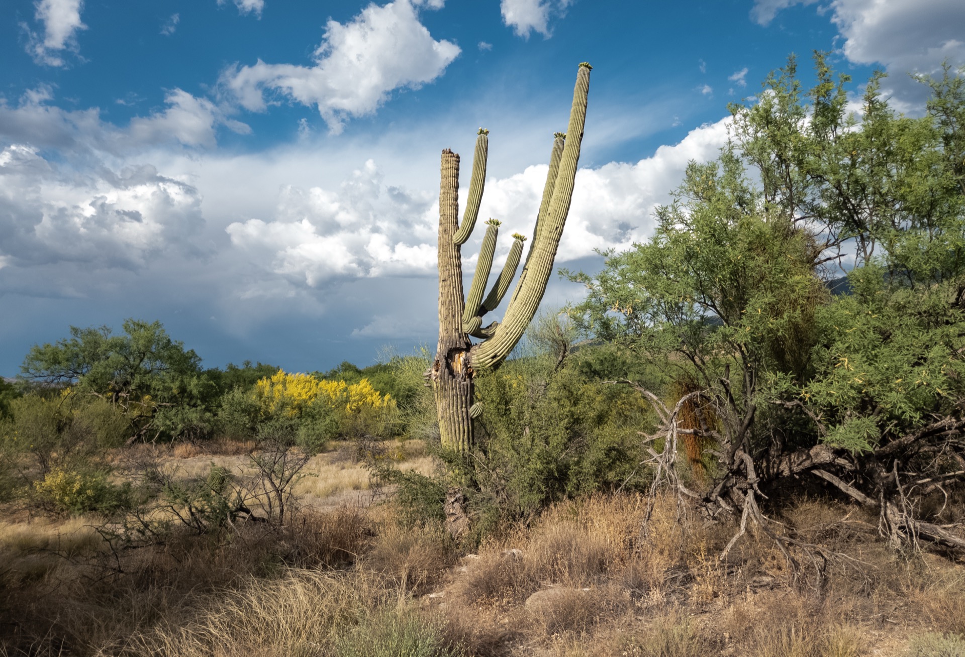
Higher elevation, more varied terrain up to 8,666 ft, the park's only camping (backcountry, permit required), and the Cactus Forest Scenic Loop Drive.
NPS directions ↗
Tucson Mountain District
West · Denser Saguaro Forest
Red Hills Visitor Center
Lower, drier terrain with the park's densest and most classic saguaro stands. No camping allowed anywhere in this district.
NPS directions ↗
Backcountry Camping6 sites · hike-in only▾
Manning Camp Backcountry · Permit Required ▾
Elevation7,920 ft
AccessHike-in only, Rincon Mtn. District
Permits on Recreation.gov ↗
Douglas Spring Backcountry · Permit Required ▾
NotesLowest-elevation site, good winter option
Permits on Recreation.gov ↗
Grass Shack Backcountry · Permit Required ▾
NotesNear Chimenea & Madrona Creeks, seasonal water
Permits on Recreation.gov ↗
Juniper Basin Backcountry · Permit Required ▾
Access6.9 mi via Tanque Verde Ridge, ~3,000 ft gain
Permits on Recreation.gov ↗
Spud Rock Spring Backcountry · Permit Required ▾
NotesMost secluded of the six sites
Permits on Recreation.gov ↗
Happy Valley Saddle Backcountry · Permit Required ▾
NotesRincon Mtn. District, hike-in only
Permits on Recreation.gov ↗
Landmarks & Trails4 stops▾
Rincon Mountain District (East)2 stops▾
Cactus Forest Scenic LoopRoadside
8-mile paved scenic drive through dense saguaro stands
Tanque Verde Ridge TrailVaries
Strenuous ridge hike into the high country
Tucson Mountain District (West)2 stops▾
Signal Hill Petroglyphs~0.3 mi RT
Hohokam rock art, short easy walk
Valley View Overlook TrailEasy
classic saguaro-forest views
~0.8 mi RT
Things to Do7 categories▾
Hiking — Rincon Mountain District (East)6 trails▾
Freeman Homestead TrailEasy
Short interpretive loop past a historic homestead site, with signs geared toward kids
1 mi loop
Loma Verde LoopModerate
Rolling desert loop winding through dense saguaro forest on the valley floor
3.8 mi · 60 ft
Hope Camp & Ridgeview TrailModerate
Climbs to overlooks above Wildhorse Tank with valley and mountain views
2 mi · 400 ft
Garwood Dam & Wildhorse TankMod.–Strenuous
Longer desert loop past a historic earthen dam, with one steep climbing section
6.4 mi
Douglas Spring TrailMod.–Strenuous
Rugged approach into the Rincon high country; can be shortened by turning around at Three Tank Trail Junction
4.9–17.2 mi RT · up to 2,200 ft
Tanque Verde Ridge TrailStrenuous
Exposed ridge climb from Javelina Picnic Area, with shorter overlook options at 0.25 and 0.75 mi
0.75–8.7 mi · up to 4,000 ft
Hiking — Tucson Mountain District (West)5 trails▾
Signal Hill PetroglyphsEasy
Short walk up to over 200 Hohokam petroglyphs, the park's largest rock-art site
~0.3 mi RT
Valley View Overlook TrailEasy
Easy stroll off Bajada Loop Drive to a classic saguaro-forest view of Avra Valley
~0.8 mi RT
Wild Dog TrailEasy–Mod.
Rolling desert trail with an optional half-mile add-on to Signal Hill Road
1.8 mi (+0.5 mi option)
King Canyon / Gould Mine LoopModerate
Passes historic mine ruins on rocky, stair-stepped terrain
2.4 mi · 380 ft
Sendero Esperanza Trail to Wasson PeakMod.–Strenuous
Climbs to the highest point in the Tucson Mountains, with a shorter ridge option
3.4–8 mi · up to 1,600 ft
Scenic Loop Drives2 drives▾
Cactus Forest Drive8 mi loop · Paved · East
Paved loop through the East district's densest saguaro stands, with pullouts and trailheads; narrow with tight turns and steep hills
Bajada Loop Drive6 mi loop · Unpaved · West
Graded dirt loop through the West district's lower desert, passing Valley View Overlook and Signal Hill; no high-clearance or 4WD needed
Biking2 districts▾
Cactus Forest Drive & Trail (East)8 mi drive + 2.5–2.9 mi trails
Bikes share the paved loop drive plus a dedicated multi-use trail; Hope Camp Trail is also open to bikes
Bajada Loop Drive & Trails (West)6 mi drive + up to 2.5 mi trails
Bikes allowed on the loop drive and paved roads; singletrack limited to the Belmont and Golden Gate multi-use trails
Horseback Riding & Stock Use2 districts▾
Rincon Mountain District (East)Rules vary by trail
Off-trail riding is prohibited and several trails (including Tanque Verde Ridge & Desert Ecology Trail) are closed to stock; trailer parking at Wild Horse Trailhead
Tucson Mountain District (West)Groups ≤15
Stock groups capped at 15 animals with off-trail travel prohibited; designated trailer parking at Cam Boh, El Camino del Cerro & Sendero Esperanza trailheads
Stargazing & Night SkyUrban Night Sky Place▾
Loading…
In late 2023, DarkSky International certified Saguaro as an Urban Night Sky Place — only the ninth in the world and the second in the entire National Park System, notable given its proximity to Tucson. The Night Skies program (April–October) offers guided telescope viewing; Loma Alta Trailhead in the Rincon Mountain District has the darkest views. NPS dark sky info ↗
Concession Information2 locations▾
Red Hills Visitor Center (West)1 operator▾
Western National Parks Association StoreDaily
Books, educational games, posters — proceeds support 72 park sites across 12 Western states
Rincon Mountain Visitor Center (East)1 operator▾
Western National Parks Association StoreDaily
Same nonprofit operator, second location
Bird Watching210+ species▾

Gila Woodpecker
Nests in cavities carved into saguaro trunks

Cactus Wren
Arizona's state bird, nests among the spines

Greater Roadrunner
Sprints across desert washes and trails
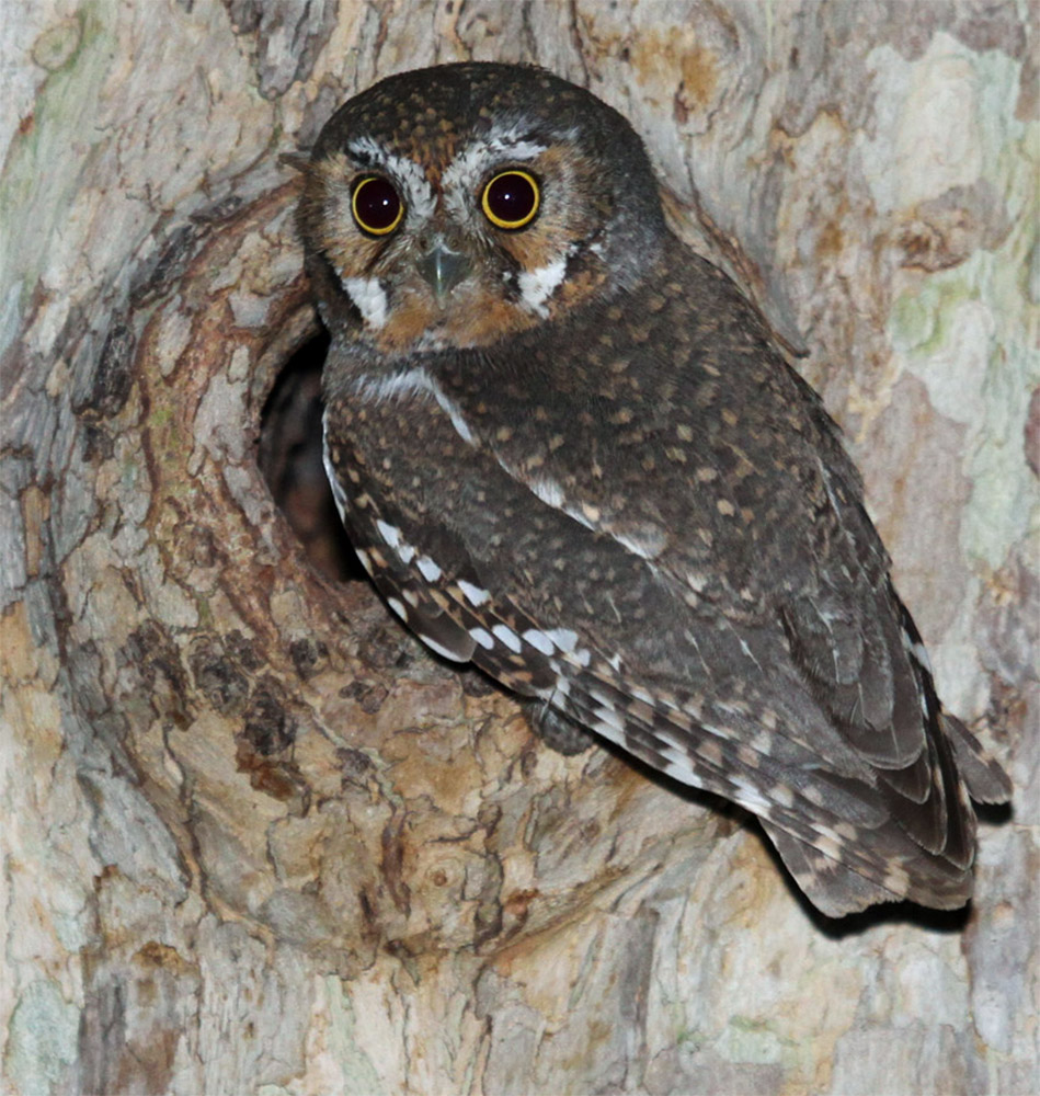
Elf Owl
World's smallest owl, roosts in saguaro cavities

Harris's Hawk
Hunts cooperatively in family groups, unusual among raptors
Park Contact Information