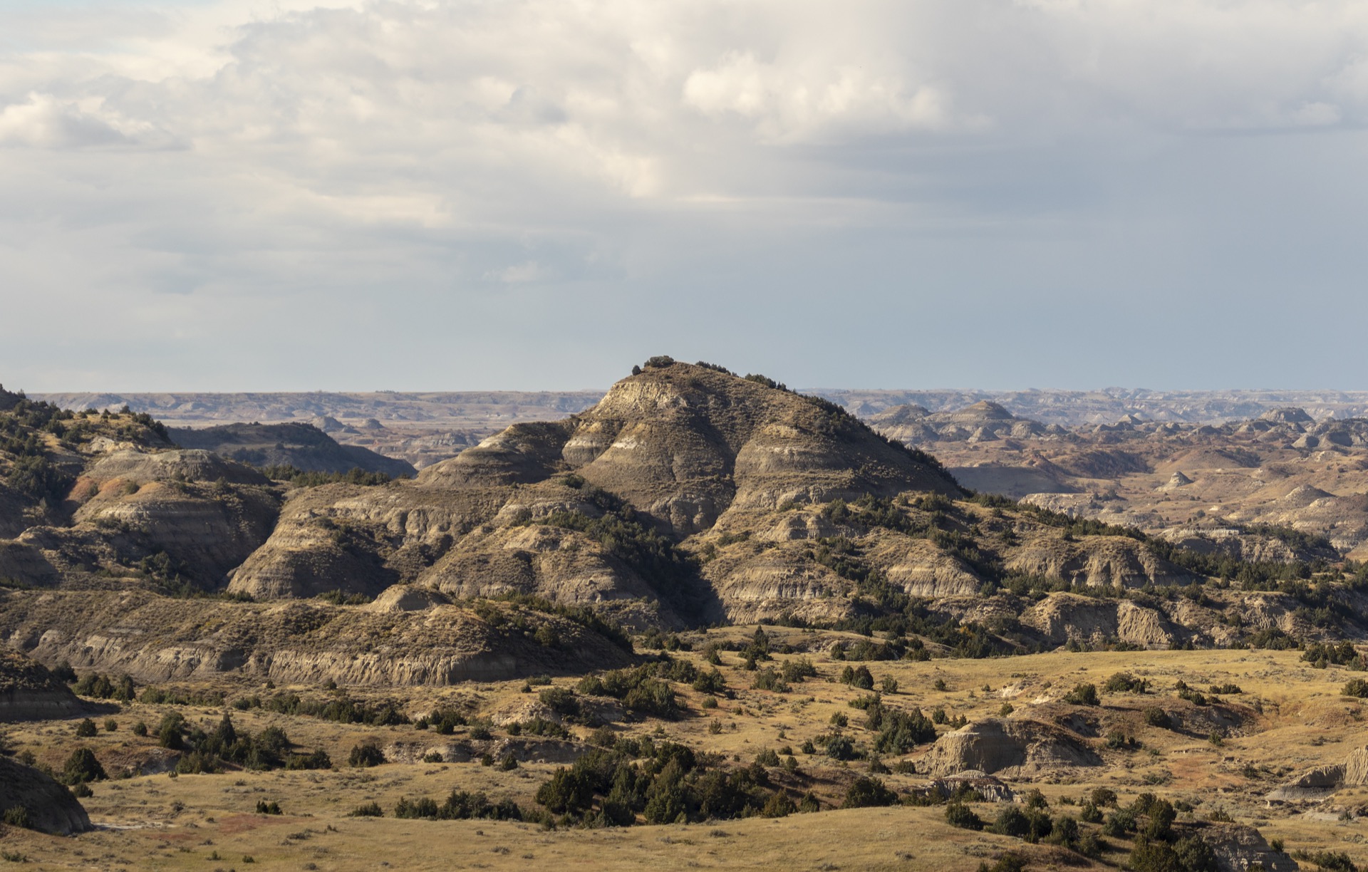
Summary
$30
Vehicle · 7 days
Live
Little Missouri gauge
1 live
Camera
--
Campgrounds
Historic Crowd Data
Avg. monthly visitors, 2015–2024 · National Park Service
Light
Moderate
Busy
Very Busy
Peak season is June–August, when around 61% of annual visitors arrive. For lighter crowds, aim for November–April.
Plan Your Visit
Wildlife & Badlands SafetyBison, wild horses▾
Park Entrance & Fees3 units, 1 pass▾
Things to Do7 categories▾
Hiking Trails6 trails▾
Wind Canyon TrailEasy
Short South Unit trail along the rim of a canyon carved by the Little Missouri River
0.4 mi RT · 20 min
Buck HillEasy, steep
Short but steep South Unit climb to one of the highest points reachable by trail, popular for sunrise and sunset
0.2 mi RT · 15 min
Painted Canyon Nature TrailEasy–Mod.
Descends from the Painted Canyon Visitor Center into the badlands; remember the climb back up
0.9 mi RT · 45 min
Caprock Coulee Nature TrailEasy–Mod.
North Unit trail winding through badlands terrain and dry washes
1.5 mi RT · 1 hr
Petrified Forest LoopStrenuous
Remote South Unit loop reaching one of the park's ancient petrified forest areas
10.3 mi loop · 5–6 hrs
Achenbach TrailStrenuous
North Unit backcountry route with two Little Missouri River crossings and steep climbs; backcountry permit needed for overnight use
18 mi RT · 10–12 hrs
Scenic Drives2 units▾
South Unit Scenic Drive24 mi out-and-back · From Medora
Out-and-back paved route from the South Unit Visitor Center in Medora past badlands overlooks and trailheads
North Unit Scenic Drive28 mi RT · ~1 hr 15 min
Roundtrip drive climbing out of the river canyon to River Bend Overlook, then along the rim to Oxbow Overlook; nearly all paved
Wildlife Viewing4 highlights▾
Bison & Feral HorsesSouth Unit roads
Bison are visible on park roads throughout the day; feral horses roam along the South Unit Scenic Drive
Prairie Dog TownsBoth units
Large towns visible from the South Unit road; the North Unit town is reached via a roughly 1-mile hike from the Caprock Coulee parking area
Golden EaglesNorth Unit
Frequently spotted over the Little Missouri River floodplain and from River Bend Overlook
ElkSouth Unit · Dawn
Best viewed in early morning while feeding on grasslands near the Buck Hill area
Horseback Riding2 options▾
Backcountry Trail RidingSelf-guided only
Permitted on backcountry trails and cross-country in both units; not allowed on nature trails, roadways, or in developed campgrounds. Guided rides are no longer offered
Roundup Group Horse CampSouth Unit
Equestrian camping area in the South Unit; free backcountry permits available for overnight rides in either unit
Bicycling2 rules▾
Park RoadsRoads only
All paved and dirt park roads are open to cyclists; off-road cycling and hiking trails are closed to bikes
Maah Daah Hey TrailNo bikes
Bicycles are prohibited on this trail where it crosses both units; cyclists must detour via the Buffalo Gap Trail (South) or existing roads (North)
Elkhorn Ranch Unit2 notes▾
Cabin Site TrailEasy
Mowed pathway from the parking area to the foundation stones of Roosevelt's "home ranch" cabin
0.7 mi RT
Getting ThereHigh-clearance rec.
Remote unit off unpaved roads; the final 3 miles often require 4-wheel drive or high clearance, especially after rain or snow. No cell signal on site
Bird Watching161+ species▾

Golden Eagle
Soars above the badlands buttes

Sharp-tailed Grouse
Performs an elaborate courtship dance on spring leks
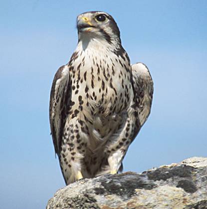
Prairie Falcon
Hunts over open grassland and badlands terrain

Western Meadowlark
North Dakota's state bird, sings from fence posts

Mountain Bluebird
Flashes vivid blue across open badlands terrain
Little Missouri RiverLive USGS gauge▾
CampingReservation required▾
Cottonwood CampgroundSouth Unit ▾
Fee$20/night peak, $10 off-season
NoteClosed Jun 28 – Jul 10, 2026
Book on Recreation.gov ↗
Park Contact Information